
|
Home | Privacy Policy | ShoreZone Page | Metadata | ShoreZone.org | Contact |
Shore Type: Rock and Sediment (BC Classes 6-20) Southeast Alaska
 |
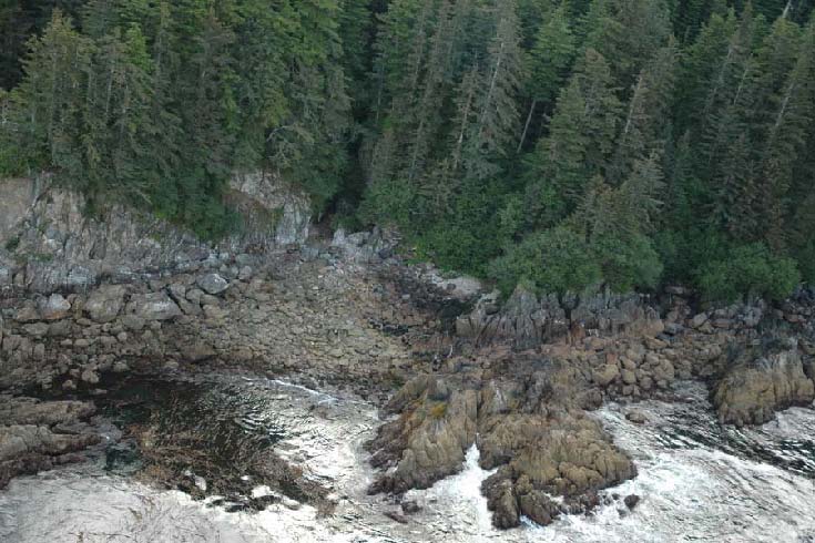 |
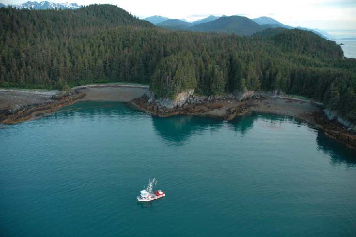
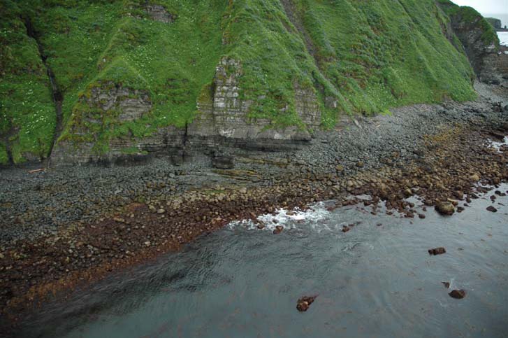
| Mixed rock and sediment units comprised of low and moderate cliffs (Forms “Casl” and “Casm”), rock ramps (Form “Pr”), and cobble-sand beaches (Form “Bf”) | Cobbles, boulders, and rubble overlying rock ramps (Form “Pr”) and low cliffs (Form “Casl”); submerged rocky reefs offshore are also present in this unit (Form “Fir”) |
| Point Whidbey, Lynn Canal (Units 10/04/2194-2196) | Lisianski Inlet (Unit 10/02/1915) |
| SE05_ML_0188.jpg | SE05_MM_0390.jpg |
Shore Type: Rock and Sediment (BC Classes 6-20, continued) Kodiak Archipelago
 |
 |
| Wide (>30 m) platform (<5° slope) with gravel beach (BC Class 7). | Steep cliff (>20°) with narrow (<30 m) gravel beach (BC Class 8). |
| Geese Channel (Unit 05/04/8011) | Geese Channel (Unit 05/04/8030) |
| KDKavi05_08086.jpg | KDKavi05_08160.jpg |
Shore Type: Rock and Sediment (BC Classes 6-20, continued) Kodiak Archipelago
 |
 |
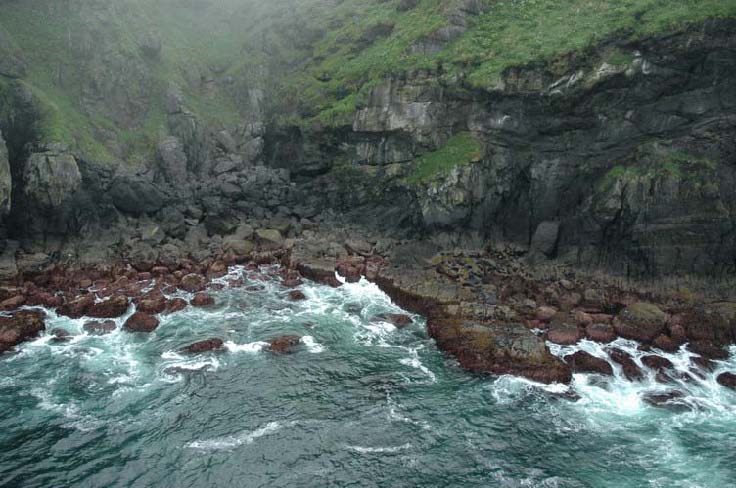
| Steep cliff
(>20°) with narrow (<30 m) gravel beach (BC Class 8).
Geomorphic features mapped in this unit include a steep, low cliff (Form
“Cpsl”) with beach veneer of boulders, cobbles and pebbles
over rock (Materials “Cbcp/R”), |
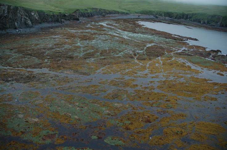
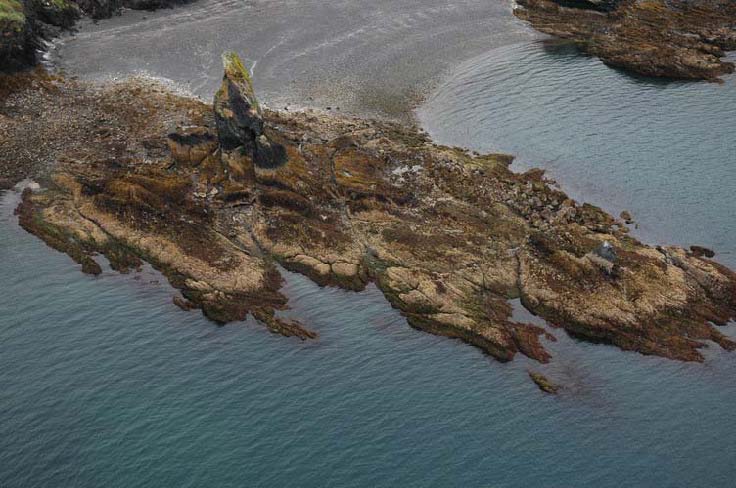
Wide rock ramp (>30 m, 5-20° slope) with gravel beach (BC Class 11). Geomorphic features mapped in this unit include the ramp with tidepools covered by a veneer of cobbles and boulders (Form “Pirp,” Materials “Ccb/R”) and a beach face of cobbles overlying pebbles and sand (Form “Bf,” Materials “Cc/Cps”). |
| Twoheaded Island (Unit 05/04/8139) | Village Islands (Unit 06/03/7032) |
| KDKavi05_08466.jpg | KDKavi05_3528.jpg |