
|
Home | Privacy Policy | ShoreZone Page | Metadata | ShoreZone.org | Contact |
Shore Type: Rock (BC Classes 1-5) Southeast Alaska
 |
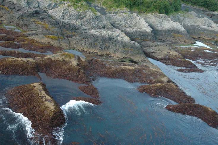 |
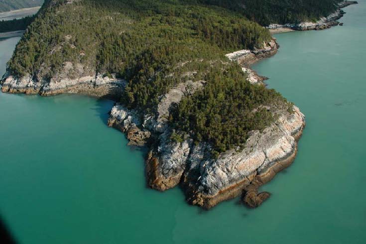
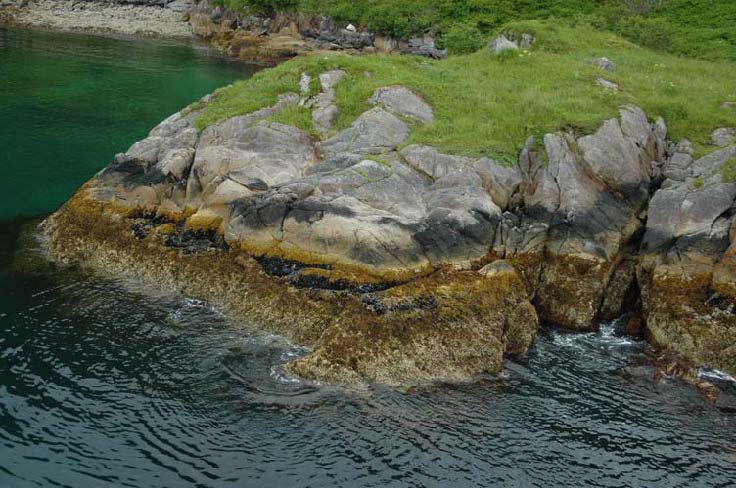
| Steep high cliff (Form “Cash”); fixed-wing aerial survey photo | Low-tide, irregular rock platform with tidepools (Form “Pihp”) |
| Taiya Point, Lynn Canal (Unit 10/04/3200) | Yakobi Island (Unit 10/02/1632) |
| SE05_ML_0831.jpg | SE05_MM_0632.jpg |
Shore Type: Rock (BC Classes 1-5, continued) Southeast Alaska
 |
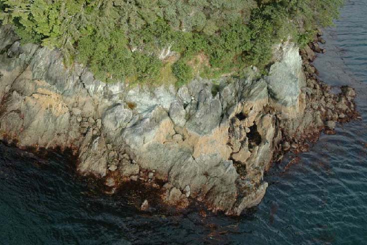 |
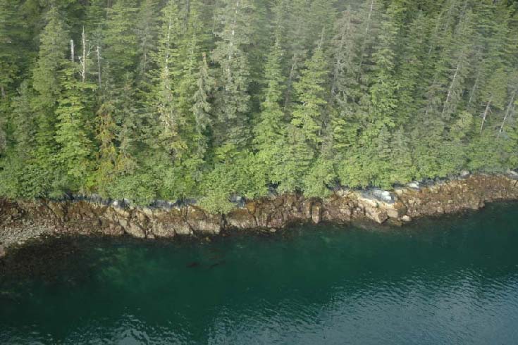
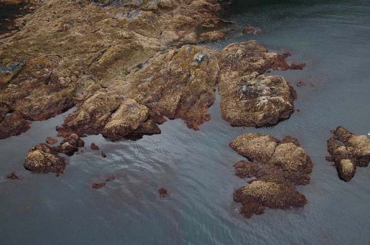
| Steep low cliff (Form “Casl”) | Rock cliffs that are steep and moderate in height (Form “Casm”) and inclined, low in height (Forms “Casm” and “Cail”) |
| Lisianski Inlet (Unit 10/02/1753) | Yakobi Island (Unit 10/02/1864) |
| SE05_MM_0221.jpg | SE05_MM_0335.jpg |
Shore Type: Rock (BC Classes 1-5, continued) Kodiak Archipelago
 |
 |
| Rock classes represent 6% of mapped shorelines. Steep, narrow rock cliffs like the one shown (BC Class 3) comprise 3.5% of mapped shorelines in the Kodiak archipelago. | Wide (>30 m) rock ramp (BC Class 1). |
| Three Saints Bay (Unit 05/04/8383) | Afognak Island (Unit 06/02/1453) |
| KDKavi05_08861.jpg | KDKavi05_2090.jpg |